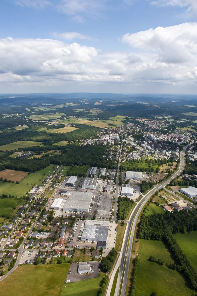
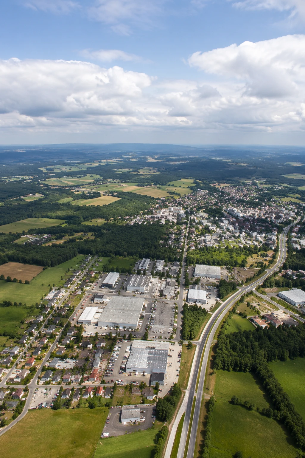
Drone Aerial View of Suburban Farmland
교외 농지를 내려다본 드론 항공 풍경
Description
A photorealistic high-altitude drone view shows warehouses, neighborhoods, tree belts, farmland, and a curving highway beneath a hazy summer sky.
사실적인 고도 높은 드론 시점으로 창고 지대, 주거지, 숲길, 농지, 굽은 고속도로가 흐릿한 여름 하늘 아래 펼쳐집니다.
Style
photorealistic
Size
1024x1536
Category
technology
License
Free for all use