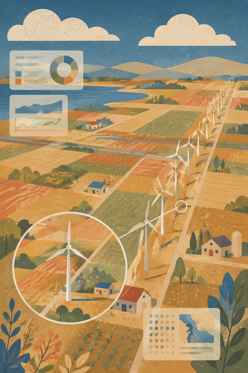
Aerial Wind Turbine Farmland Data Map
Description
A top-down satellite-style view depicts patchwork rural farmland with a diagonal row of white wind turbines, subtle interface panels, and a translucent magnified callout.
Style
folk art
Size
1024x1536
Category
technology
License
Free for all use